

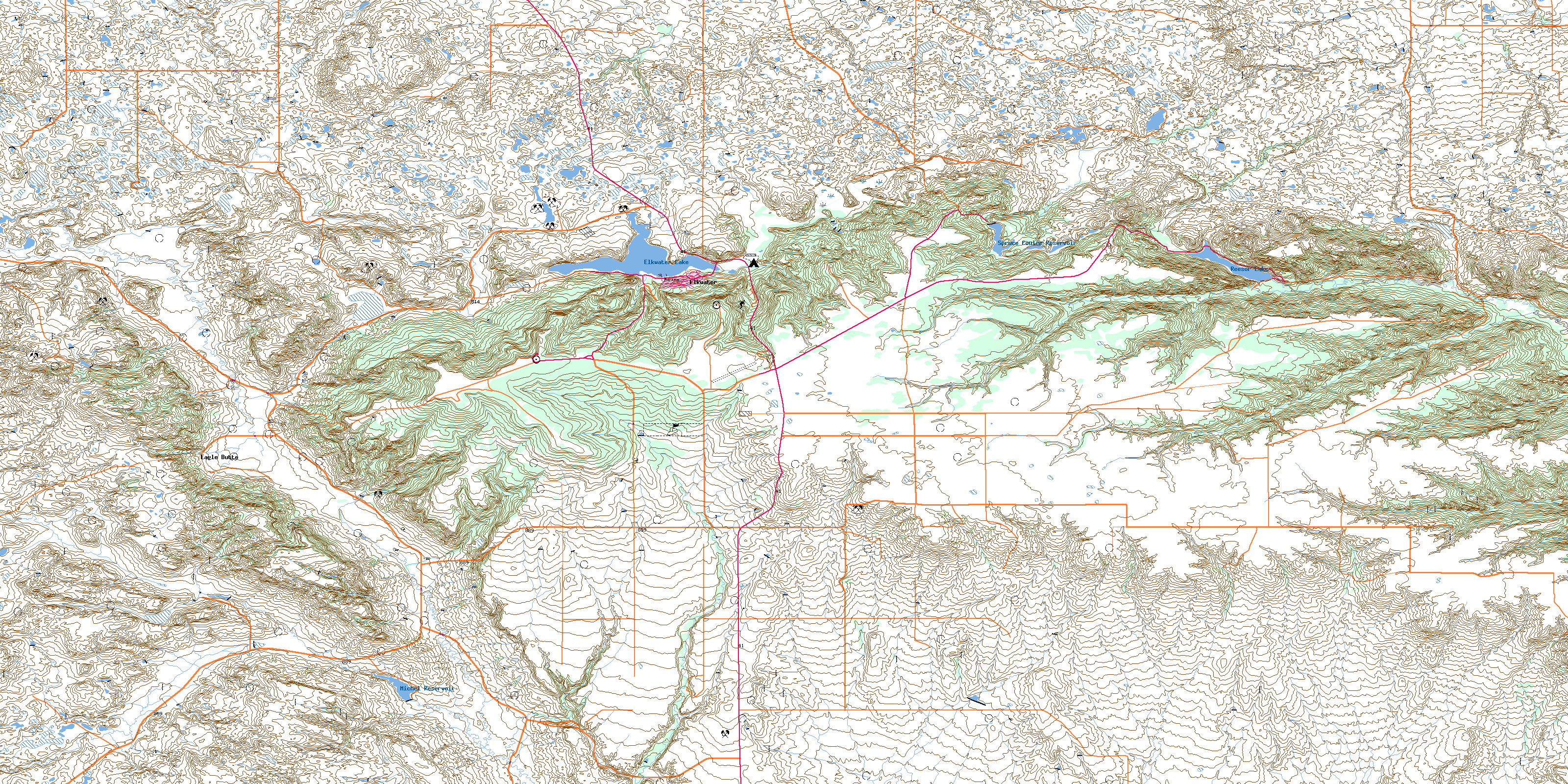
Topographic Mapping
Topographic mapping is a detailed and accurate representation of the three-dimensional features of a place, showcasing its natural and man-made structures. This type of mapping captures various elements such as terrain contours, elevations, forests, rivers, lakes, roads, and buildings, providing a comprehensive overview of the landscape. It's an essential tool for understanding the physical characteristics of an area, facilitating planning and decision-making in fields such as construction, environmental management, urban planning, and agriculture. By offering insights into the shape, height, and depth of the land, topographic maps enable professionals to assess potential project sites, plan infrastructure developments, manage natural resources, and conduct environmental impact assessments with precision and confidence.

Oil Field and Pipeline Monitoring
Route Planning for Pipelines:
Determining the most efficient and safe routes for pipeline construction, minimizing environmental impact and avoiding geohazard areas.
Monitoring Terrain Shifts:
Detecting early signs of ground movement or subsidence around oil fields and pipeline routes that could indicate potential infrastructure failures.
Environmental Impact Assessments:
Evaluating the potential environmental impacts of new oil field developments by analyzing the existing topography and natural habitats.
Access Road Planning:
Designing access roads to oil fields and pipeline locations, ensuring they are positioned safely and efficiently relative to the terrain.
Forestry
Harvest Planning:
Determining the best areas for timber harvesting based on tree density and terrain to minimize impact on the environment and improve operational efficiency.
Firebreak Planning:
Using topographic data to strategically plan firebreaks that can help control the spread of wildfires.
Reforestation Efforts:
Identifying optimal areas for reforestation based on elevation, slope, and soil types to ensure the success of planting initiatives.
Wildlife Habitat Mapping:
Understanding the terrain to preserve natural habitats and promote biodiversity within forest management practices.

Construction and Infrastructure
Site Selection for New Developments:
Identifying the most suitable locations for residential or commercial developments based on terrain features and elevation to minimize excavation and fill requirements.
Infrastructure Alignment:
Planning the routes of roads, highways, or railways to avoid natural obstacles and minimize earthworks, reducing construction time and costs.
Drainage System Design:
Designing efficient water drainage systems for new developments by understanding the natural flow of water across the terrain to prevent flooding and waterlogging.
Slope Stability Analysis:
Assessing potential landslide or erosion risks on construction sites, especially in areas with steep slopes, to implement preventive measures.

Renewable Energy
Wind Farm Siting:
Identifying optimal locations for wind turbines where elevation and terrain features contribute to higher wind speeds.
Solar Farm Planning:
Assessing potential sites for solar farms based on terrain orientation and angle to maximize sunlight exposure.
Hydroelectric Power Potential:
Evaluating river gradients and topography to identify potential sites for hydroelectric power stations.
Geothermal Energy Exploration:
Using topographic data to identify areas with geothermal potential for the development of geothermal energy projects.

Flood Risk Assessment
Flood Modeling:
Predicting flood zones and the potential impact of flooding on communities by analyzing river basins, elevation, and rainfall data.
Emergency Planning: Developing evacuation routes and emergency response plans based on flood risk maps.
Infrastructure Protection:
Identifying critical infrastructure at risk of flooding to prioritize protection measures.
Watershed Management:
Planning interventions in watersheds to reduce the risk of flooding downstream, including dam construction and riverbank reinforcement.

Agriculture
Irrigation Design:
Planning efficient irrigation systems that match the topography of the land to ensure uniform water distribution and reduce water waste.
Land Use Optimization:
Identifying the best areas for different types of crops or land use based on soil characteristics and topography.
Erosion Control:
Implementing erosion control measures in areas identified as vulnerable due to their slope and soil type.
Precision Farming:
Utilizing detailed terrain information to apply precise amounts of water, fertilizers, and pesticides, improving yield and reducing costs.

Environmental Conservation and Research
Habitat Conservation:
Identifying and mapping key habitats for conservation efforts, including endangered species habitats, using elevation data and vegetation indices.
Wetlands Restoration:
Planning and monitoring wetland restoration projects, including understanding the hydrology influenced by the terrain.
Erosion Control Projects:
Targeting areas for erosion control projects to preserve natural landscapes and prevent sedimentation in water bodies.
Environmental Impact Monitoring:
Assessing changes in the natural landscape over time due to human activity or climate change.

Urban Planning and Development:
Zoning Decisions:
Assisting in making informed zoning decisions by providing a detailed overview of the urban landscape, including elevations and slopes.
Public Infrastructure Development: Planning the placement and design of public infrastructure, such as parks, schools, and hospitals, considering the existing topography.
Disaster Mitigation:
Identifying areas at higher risk of natural disasters (e.g., floods, landslides) to implement mitigating infrastructure or regulations.
Urban Expansion:
Guiding the expansion of urban areas in a way that is sustainable and considers natural terrain features to maintain ecological balance.
Utilizing Eagle Eye Drone Services for topographic mapping offers significant advantages across various sectors, emphasizing time savings, cost efficiency, and unparalleled value as a partner. Here's how Eagle Eye Drone Services stands out as the premier choice for your topographic mapping needs:
Time Savings
Eagle Eye Drone Services employs state-of-the-art drone technology equipped with advanced LiDAR and photogrammetry capabilities, enabling rapid data collection over large and inaccessible areas that traditional mapping methods would take weeks to cover. Our drones can swiftly navigate challenging terrains, delivering high-resolution topographic data in a fraction of the time. This accelerated data acquisition process means that projects can move forward more quickly, from the planning phase to execution, without the delays associated with conventional mapping techniques.
Cost Efficiency
By leveraging the efficiency and speed of drones for topographic mapping, Eagle Eye Drone Services significantly reduces the labor and resource costs associated with traditional ground-based mapping methods. Our drone can map eliminate the need for extensive human resources and the logistical expenses of accessing difficult terrains, passing on substantial cost savings to our clients. Furthermore, the precision and accuracy of our data collection minimize the risk of costly mistakes and the need for re-map, ensuring your project stays within budget.
Value as a Partner
Eagle Eye Drone Services is not just a service provider; we are a partner invested in your project's success. Our team of experts works closely with clients to understand their unique needs and objectives, offering customized mapping solutions that deliver actionable insights and data. With our extensive experience across industries such as construction, forestry, oil fields, and environmental conservation, we bring valuable expertise to the table, assisting in project planning, risk management, and decision-making processes.
Why Eagle Eye Drone Services is Your Best Choice
Choosing Eagle Eye Drone Services means selecting a partner that is at the forefront of technological innovation in aerial mapping. Our commitment to safety, precision, and client satisfaction sets us apart. We continuously invest in the latest drone technologies and training for our team to ensure we offer the most reliable and efficient topographic mapping services available. Our dedication to delivering high-quality, detailed topographic data makes us the best choice for clients looking to optimize their projects for success, safety, and sustainability.
In summary, Eagle Eye Drone Services provides a modern, efficient, and cost-effective solution for topographic mapping, offering significant time savings, financial advantages, and value as a long-term partner. Our expertise and innovative approach make us the ideal choice for any organization looking to leverage the benefits of advanced aerial surveying techniques.